


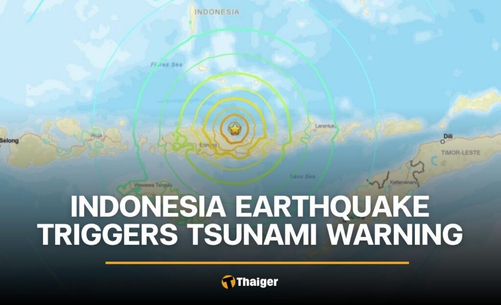


A magnitude 7.7 earthquake struck off the eastern coast of Indonesia in the early hours of August 15, damaging buildings in the area and prompting Indonesian officials to issue a tsunami warning for coastal residents.
The US Geological Survey (USGS) reported the quake hit the Flores Islands region at around 5.58am local time (4.58am Thai time). The epicentre was located roughly 68 kilometres north-northwest of Ende in East Nusa Tenggara province, with the quake originating undersea at a depth of around 10 kilometres.
The tremor damaged buildings and structures in the surrounding area. Two aftershocks were recorded following the main quake, according to seismic monitoring reports.
Indonesia’s Meteorology, Climatology and Geophysics Agency (BMKG) issued a tsunami warning shortly after the quake, urging residents to stay away from beaches and riverbanks. People living along the coastline near the Flores Islands epicentre were advised to move to higher ground as a precaution.
Officials are monitoring sea levels closely to track any changes that could follow the earthquake.
The Joint Australian Tsunami Warning Centre said the undersea quake posed no tsunami threat to Australia’s mainland, islands or territories.
Indonesia is an archipelago nation made up of more than 17,000 islands. It sits on the Pacific “Ring of Fire”, a chain of fault lines and volcanoes circling the Pacific Ocean, and experiences frequent earthquakes and volcanic activity as a result.


The story Indonesia Earthquake Triggers Tsunami Warning as seen on Thaiger News.